Put your new communities on Google Maps & Street View fast.
Stop losing sales to "invisible inventory." We capture 360° imagery and fix missing roads so buyers can find you, often in just 2 weeks.
Live on Google Maps & Apple Maps in 2-10 Business Days.
Trusted By Land & Marketing Teams At
10 Out of the Top 20 Home Builders
The Hidden Bottleneck
|
You invest heavily in land, models, and marketing. But without updated map data, high-intent buyers see only an empty field on the app they use to find you.
1. The Logistics Nightmare
You lose appointments when prospects can't find the entrance. From missed Uber Eats orders to lost construction deliveries, an unverified address is an operational failure that costs real money.
2. The "Ghost Town" Effect
Buyers check Street View before driving out. If they see nothing at all, they assume you aren't ready and skip the visit for a resale home that looks "finished" online.
3. Sales Friction
Stop paying OSCs to be human GPS systems. When half the call is spent explaining directions, sales velocity crawls. We verify the pin so your team can focus on closing.
The Solution
We inject verified data and imagery directly into Google & Apple Maps, ensuring every buyer finds your door without a second thought.
Show the Reality,
Not Just Renderings.
The Problem: Satellite imagery is typically 1-3 years old. Buyers researching online see empty dirt fields instead of your progress.
The Solution: Community Standard provides a single professional capture, while Community Plus updates the map at every major milestone.
The Benefit: Give remote buyers the confidence to visit by showing them the reality of your community.
We Connect the
Missing Link.
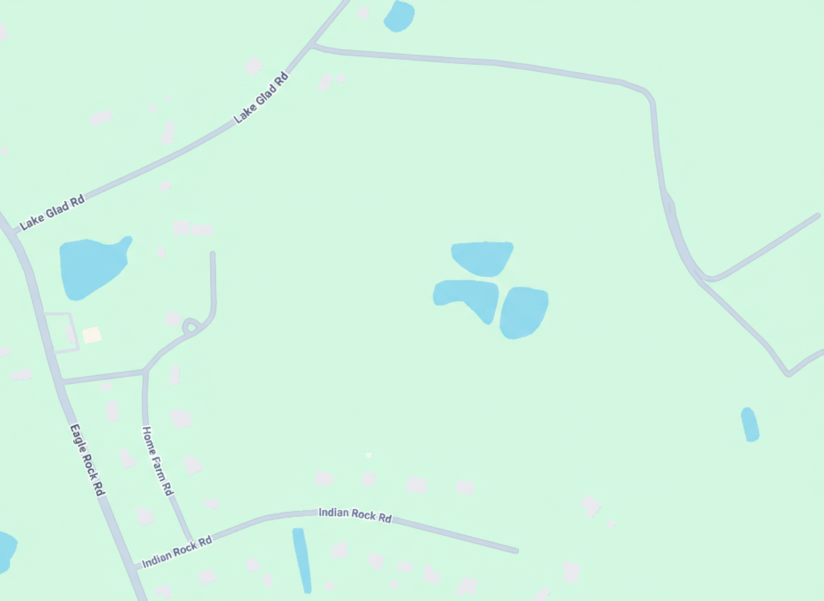
The Problem: Navigation apps rely on data. When roads are missing, routing fails, frustrating buyers and drivers.
The Solution: We trace and inject verified vector data directly into Google & Apple Maps, fixing the digital infrastructure.
The Benefit: Ensure 100% accurate navigation for every visitor, starting from day one.
How It Works
From "Dirt Field" to "Digital Curb Appeal" in days, not months.
1. Order
It starts with a simple address or a PDF plat map. You tell us where the dirt is, and we initialize the project in our GIS system. No complex onboarding or data integration required.
2. Capture
We deploy our professional capture teams once roads are paved, even if homes aren't built yet, to establish the map geometry and lot views.
3. Process
Our team processes the raw imagery, blurring faces/plates for privacy, and color-grading for vibrancy. We then inject the geometry and imagery directly into the Google & Apple knowledge graphs.
4. Verify
You receive a 'Blue Line Certified' link. We don't mark the project complete until you can see the specific 'blue line' on Google Street View and navigate to the model home front door yourself.
The Hidden Friction
The Cost of the
"Invisible Community"
New home communities often take 9-12 months to appear correctly on Google Maps naturally. During this "Invisible Gap," you lose high-intent traffic to resale homes across the street that are on the map.
Missed Appointments
Buyers give up when navigation fails or pins are wrong.
Wasted Sales Time
Your team shouldn't be IT support for lost Uber drivers.
The ROI Calculation
It's sales insurance.
Assumes a $500K home at typical builder margins.
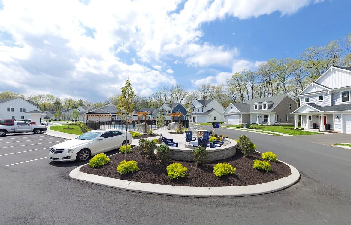
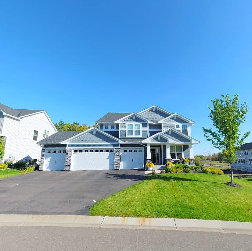
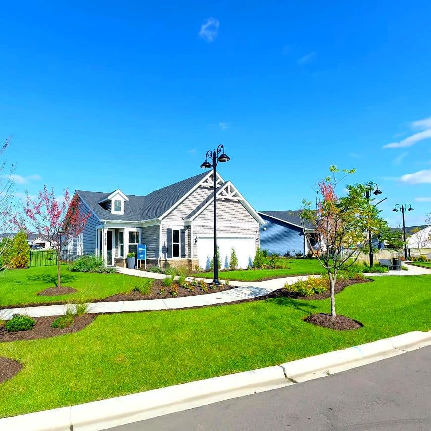
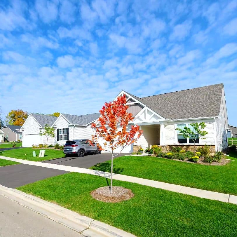
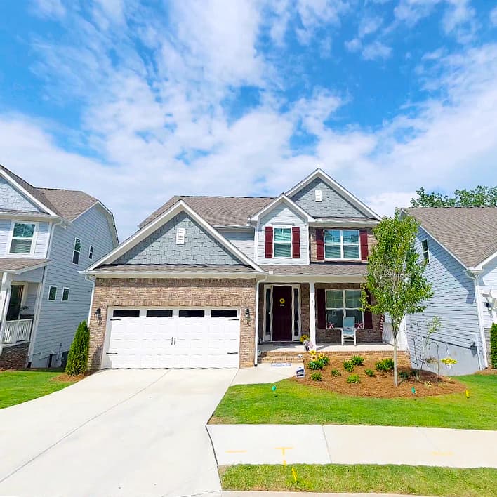
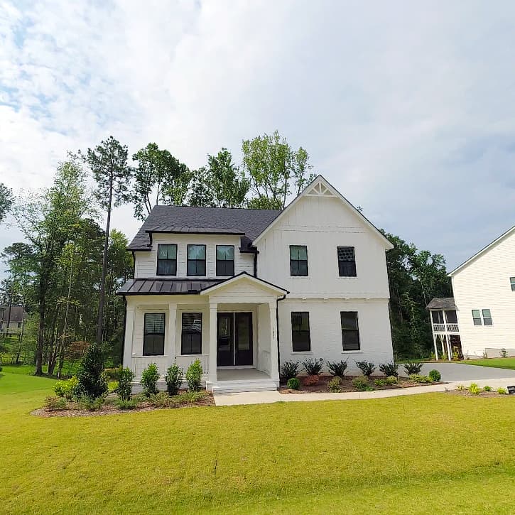
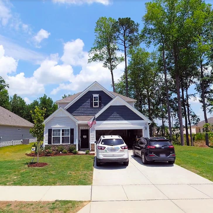
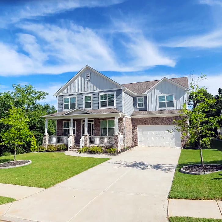
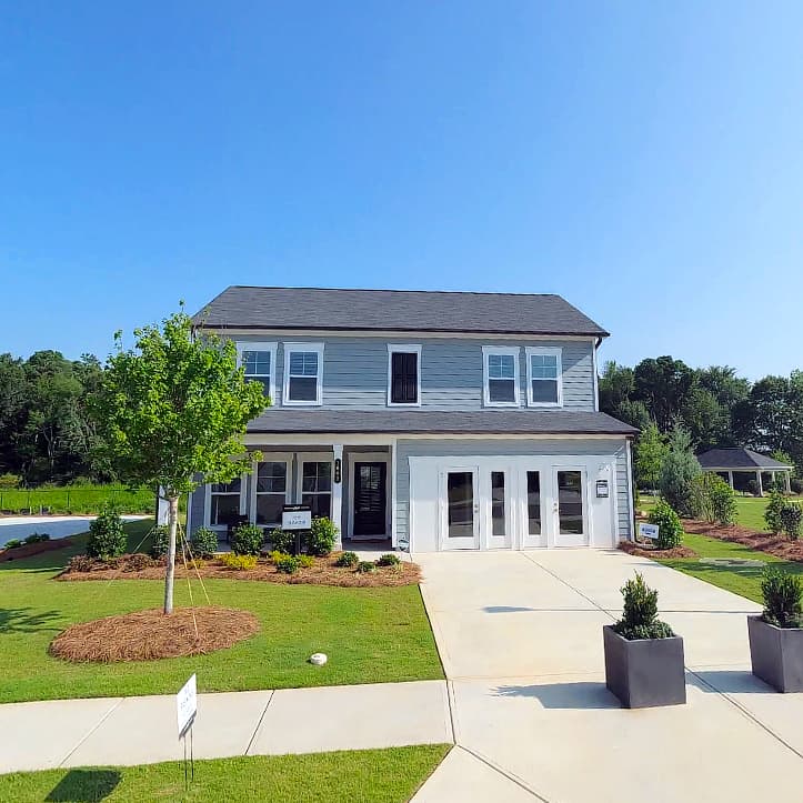
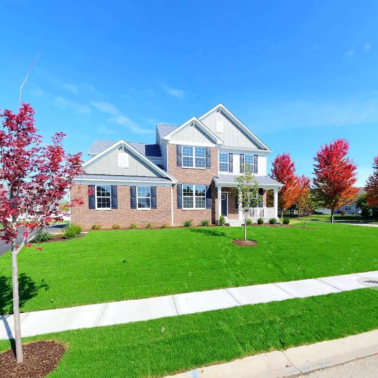
Communities in Action
Putting You on the Map.
Explore a selection of recent communities and developments we've successfully mapped into Google Street View.
The Grand Luxury Apartments & Homes
Walcott Glen
Lincoln Prairie by Del Webb
Briargate
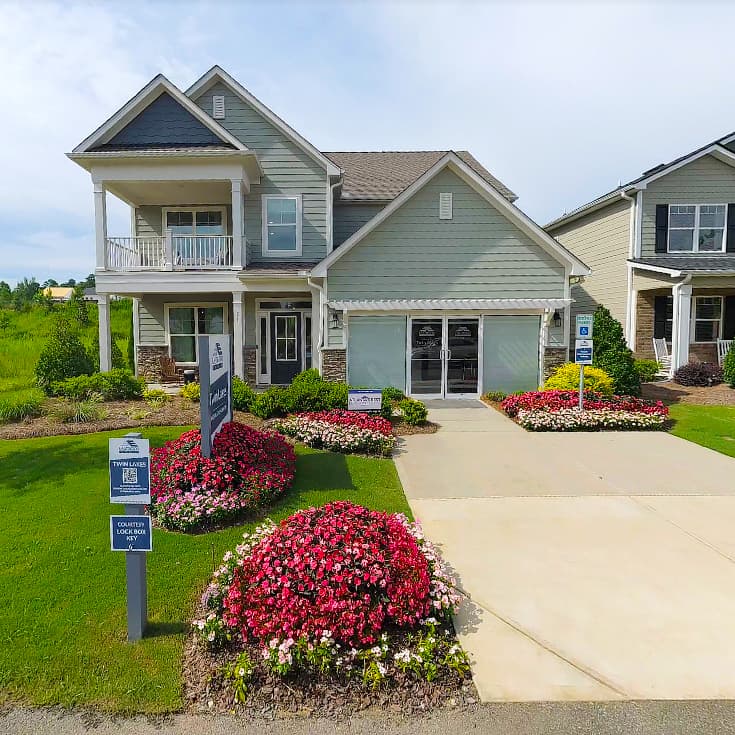
Twin Lakes
Sunrise Cove at Great Sky
Hasentree
Brantley Place
Cambridge
Alder Park
Summergate
The Grand Luxury Apartments & Homes
Walcott Glen
Lincoln Prairie by Del Webb
Briargate
Twin Lakes
Sunrise Cove at Great Sky
Hasentree
Brantley Place
Cambridge
Alder Park
Summergate
Portfolio Pricing
Predictable Mapping & Visuals.
Pick the Plan that Fits Your Portfolio.
Put your portfolio mapping on autopilot. With unlimited updates for all your communities, we ensure buyers, contractors, and delivery services navigate directly to your model homes. Enrolling also unlocks discounts of up to $500 on all visual captures.
Compare & Save
Switch between subscription benefits and pay-as-you-go captures.
Map Modifications
Foundational fixes for missing roads and broken navigation across your portfolio.
Billed annually (12-mo contract)
- Road Geometry Correction
We trace and inject every curve, cul-de-sac, and entrance directly into Google & Apple base maps.
- Lot Address Verification
We add addresses for every lot to ensure navigation lands correctly, not just in the center of the parcel.
- Rapid Turnaround
Most map updates are processed in 2-10 business days, bypassing the standard review queue.
Community Standard
Single capture for show-ready communities.
Pay As You Go Price: $1,749
- Professional Capture
We deploy our fleet to capture 11K resolution street-level imagery.
- Context & Views
We publish directly to Google Street View, proving the location and layout are real.
- Single Phase Coverage
Perfect for smaller or single-phase communities.
Community Plus
The "Two-Step Strategy" for maximum sales velocity.
Pay As You Go Price: $2,499
- Capture 1: Pavement Milestone
We capture once roads are paved and initial models are built to establish map geometry and lot views.
- Capture 2: Model Milestone
We return at your request to showcase vertical construction, amenities, and lifestyle.
- Multi-Phase Flex
Great for large projects. Schedule your second capture anytime up to 12 months after the first.
Ordering in bulk or managing multiple divisions?
Ask about our multi-community bulk rates, corporate service agreements, and consolidated billing, and save up to an additional 50%.
Frequently Asked Questions
Ready to Fix Your Maps?
Turn Your "Dirt Pile" into Digital Curb Appeal.
We handle the tickets, the verification, and the data entry. You focus on selling homes.